At a glance
- The surviving city plan makes more sense when its waterways are read as infrastructure. [1]
- Trading settlements connected diplomacy, commerce and permanent communities. [2][3][4]
- Temple architecture and excavated objects offer different kinds of evidence about exchange. [4][6]
A capital built around movement
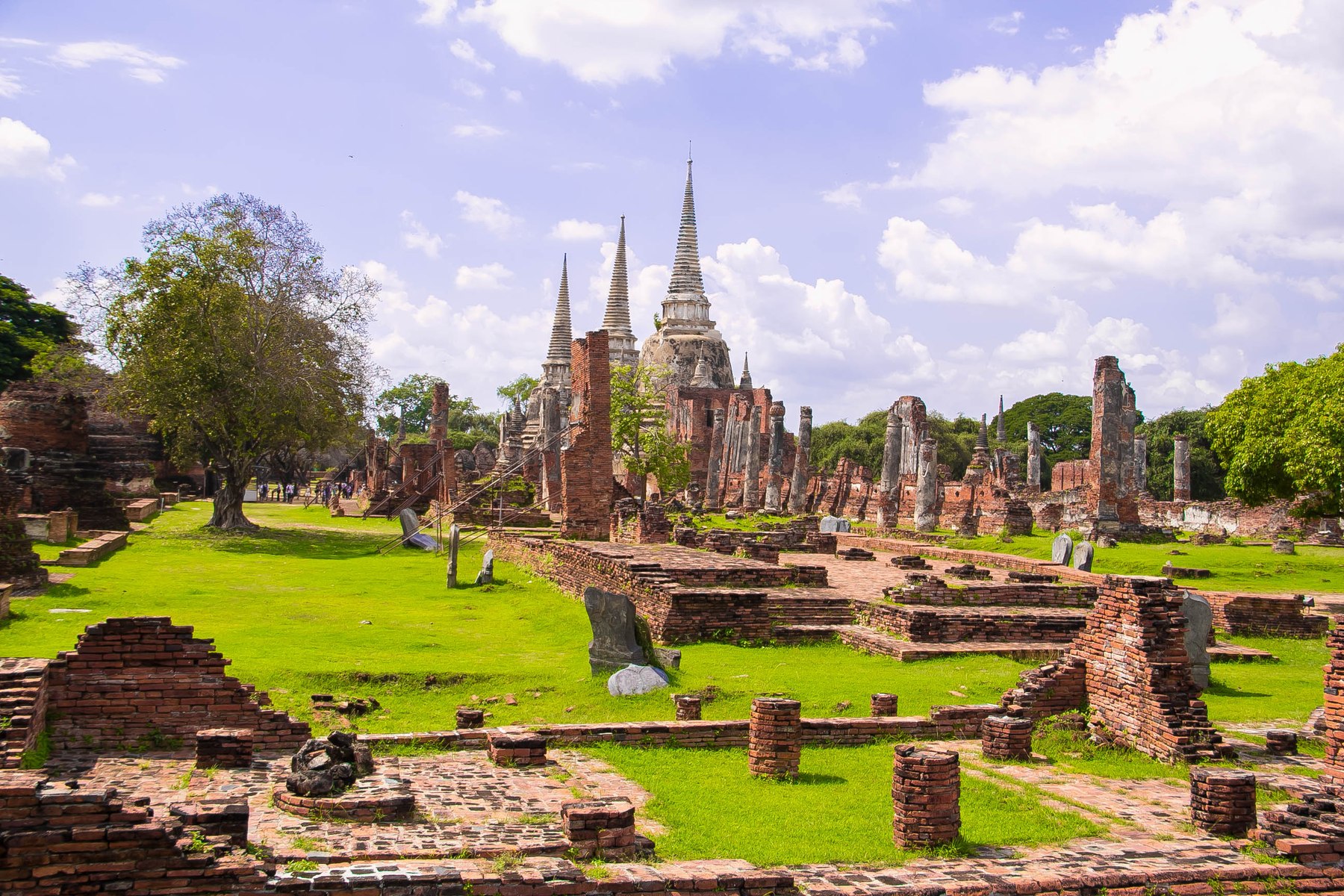
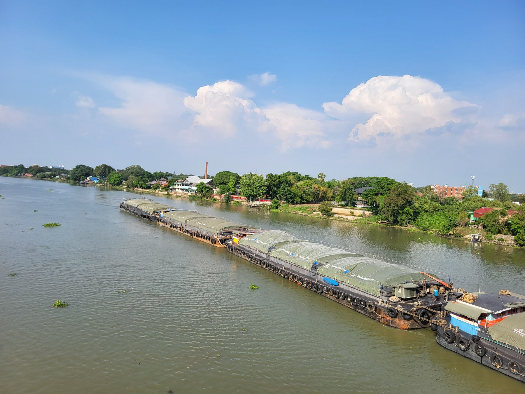
To understand Ayutthaya, look beyond the outline of an individual temple. Founded in 1350, the former capital occupied an island enclosed by three rivers connected to the sea. UNESCO describes an ordered network of streets, canals and moats, with water management integral to the city’s design. The surviving pattern preserves something a monument viewed alone cannot: the relationship between places. [1]
This changes the question a visitor asks. Instead of treating water as scenery around the ruins, consider what it made possible. How did someone reach a market, a religious compound or the seat of government? Where did a traveller pass from movement into controlled space? A city plan records those choices even after much of the activity itself has disappeared. The gaps between famous buildings become part of the evidence.
The landing place and the royal court
The Dutch trading post provides a concrete connection between commerce and royal permission. The Netherlands’ official historical account dates formal trade relations to 1604 and permission for a VOC post to 1608. It records a factory and trading office built in 1634 on land granted by the king after Dutch naval assistance in the war against Pattani. Cargo could be loaded and unloaded there. Today’s Baan Hollanda information centre occupies the former trading-post site. [2]
A waterside commercial compound was therefore more than a convenient address. Its story joins access to land, military service and the right to trade. The distinction matters because the word ‘global’ can suggest a market floating free of local authority. Here, international business was embedded in political relationships. A landing place belonged within a larger negotiation over who could enter, settle and prosper.
Connections became communities
European arrivals entered an Asian maritime world. Thailand’s Ministry of Foreign Affairs describes existing connections with Bengal, the Coromandel Coast and Iran, alongside Japanese traders, seafarers and soldiers. Its account of the 1516 Portuguese agreement links the supply of weapons with religious freedom and permission for settlement and commerce. Portuguese residents included both traders and military specialists. [3]
Archaeology brings that account down to the scale of daily possessions. The Fine Arts Department locates the Portuguese settlement south of the island on the Chao Phraya’s western bank. Its account of excavation at the Dominican church lists ceramics, bottles, tobacco pipes, devotional objects and coins associated with Thailand, China, the Netherlands and Spain. The community had churches belonging to three Catholic orders. [4]
These are different kinds of traces. A coin can travel farther than its owner; a church points to an institution intended to endure. Neither proves that every group lived without friction. Together they support a richer interpretation than a procession of visiting ships: long-distance exchange also involved people building routines, worshipping and making a home.
Trade also looked inland
A Fine Arts Department research abstract distinguishes royal monopolies over selected imports and exports from ordinary trade in street and boat markets. It also describes routes bringing goods to the capital from different parts of the country. That distinction places local circulation alongside overseas connections, rather than allowing the foreign compounds to stand for the whole urban economy. [5]
The Foreign Ministry’s account identifies deer skins, tin and sappanwood among goods exported to Japan, with silver and copper coming in exchange. [3] This gives the waterways a more concrete economic meaning. Overseas demand was connected to resources gathered beyond the capital, while arriving goods moved back through its trading relationships. The foreign compound and the inland market belonged to the same network, even though each leaves a different historical record.
What a temple plan reveals
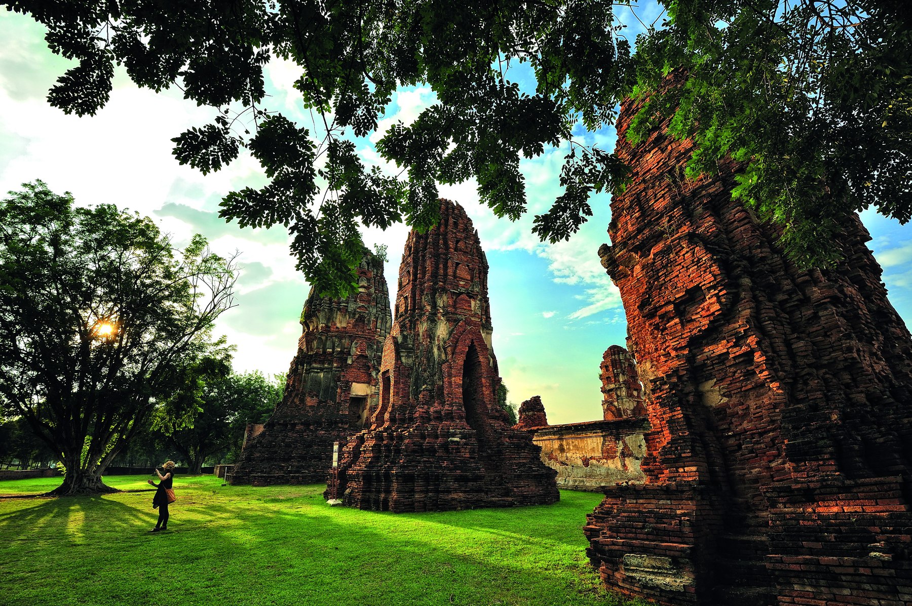
Wat Ratchaburana offers a particularly legible architectural example. The Fine Arts Department describes a central prang surrounded by a gallery, an assembly hall to the east and an ordination hall to the west on the same main axis. It identifies Chinese artistic influence in the early Ayutthaya murals within the prang’s crypt. Gold objects and other finds from the crypt were taken into the Chao Sam Phraya National Museum collection. [6]
The ordered axis and the borrowed artistic vocabulary answer different questions. The plan shows how a sacred precinct arranged movement and attention. The paintings suggest that cultural influence could be incorporated into a local religious setting. Neither permits a simple equation between one foreign style and one trading community. Buildings, images and portable objects need to be compared, rather than forced into a single origin story.
Read the absences as carefully as the towers
The capital was destroyed in 1767. UNESCO notes both the survival of its urban template and subsequent consolidation, repair and occasional reconstruction of major monuments. What remains is therefore evidence interpreted and conserved across time, rather than an untouched city paused on the eve of destruction. [1]
The strongest reading holds several views together: river access, political permission, settlement and sacred design. It also leaves room for what a ruin cannot establish. A temple can reveal an arrangement of space without supplying every voice that once used it. Ayutthaya becomes more intelligible when its monuments are treated as parts of a connected city, and more interesting when their silences are acknowledged.
What to know
Read Ayutthaya through the relationships between water, compounds and sacred precincts. Its global history is a story about the organization of a city as well as the arrival of foreign ships.
About this reporting
AI-assisted research and drafting from the linked sources, with original explanatory analysis. No interviews or field visits are claimed. Photographs are dated archive images.
Corrections & updates
: Expanded with additional primary sources, analysis and licensed photographs. Original publication date retained.
: Corrected sentence capitalization; reporting and original publication date are unchanged.