At a glance
- Rain coverage, rainfall amount and observed flood depth measure different things.
- Drainage works as a connected system; maintenance and available storage matter alongside pumping.
- Local street conditions need timestamped observations, while subsidence and basin management require a longer view.
A forecast is only the first part of the story
Rain becomes a Bangkok transport problem when water arrives faster than the surrounding drainage system can move or temporarily hold it. That is a useful starting point for understanding why a forecast for the capital cannot tell a commuter whether a particular soi will be passable. The forecast describes expected weather over an area and a period. Flooding is an outcome at a location, shaped by what happens to the water after it falls.
This explainer describes those mechanisms. It does not report current street water depths or declare any route clear. Its practical lesson is to connect the weather forecast with local observations, and to keep both separate from the slower changes that influence the city's underlying flood risk.
Read the percentage and the millimetres separately
The Thai Meteorological Department's weather criteria distinguish the geographical spread of rain from its amount. A forecast expressed as a percentage of an area's coverage addresses how widely rain is expected. It does not mean that the same percentage of a neighbourhood will flood, or that a larger coverage percentage necessarily means heavier rain at your building.
TMD separately classifies rainfall amounts: its published criteria place heavy rain at 35.1–90.0 millimetres and very heavy rain at 90.1 millimetres or more. These categories do not, by themselves, specify a street's drainage performance. For comparisons, readers also need the observation period. Water delivered in a short burst puts a different immediate load on drains from the same volume spread over a longer interval. That distinction is a physical inference, rather than a forecast of any particular Bangkok road.
Sources: 1
The drainage system is a chain
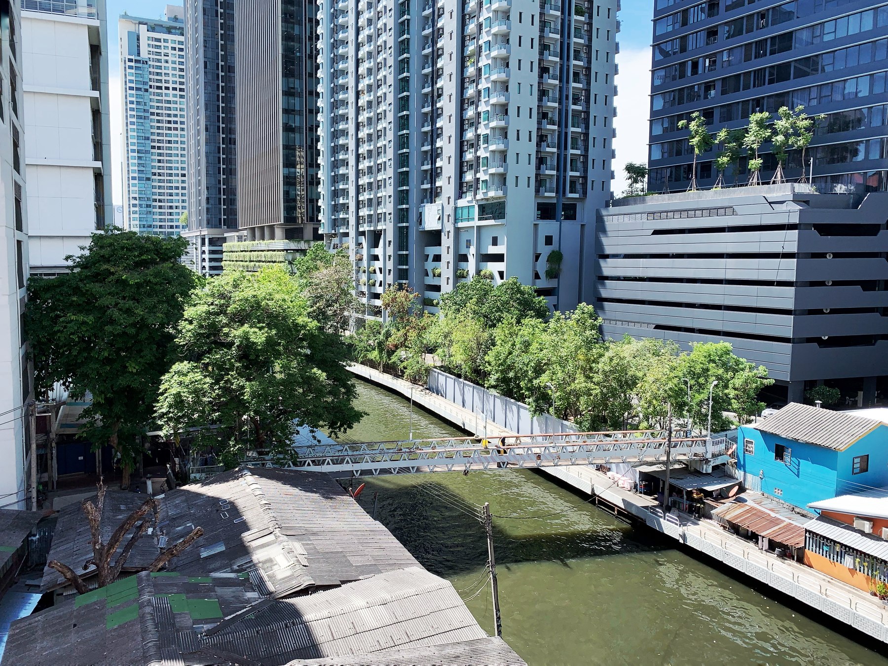
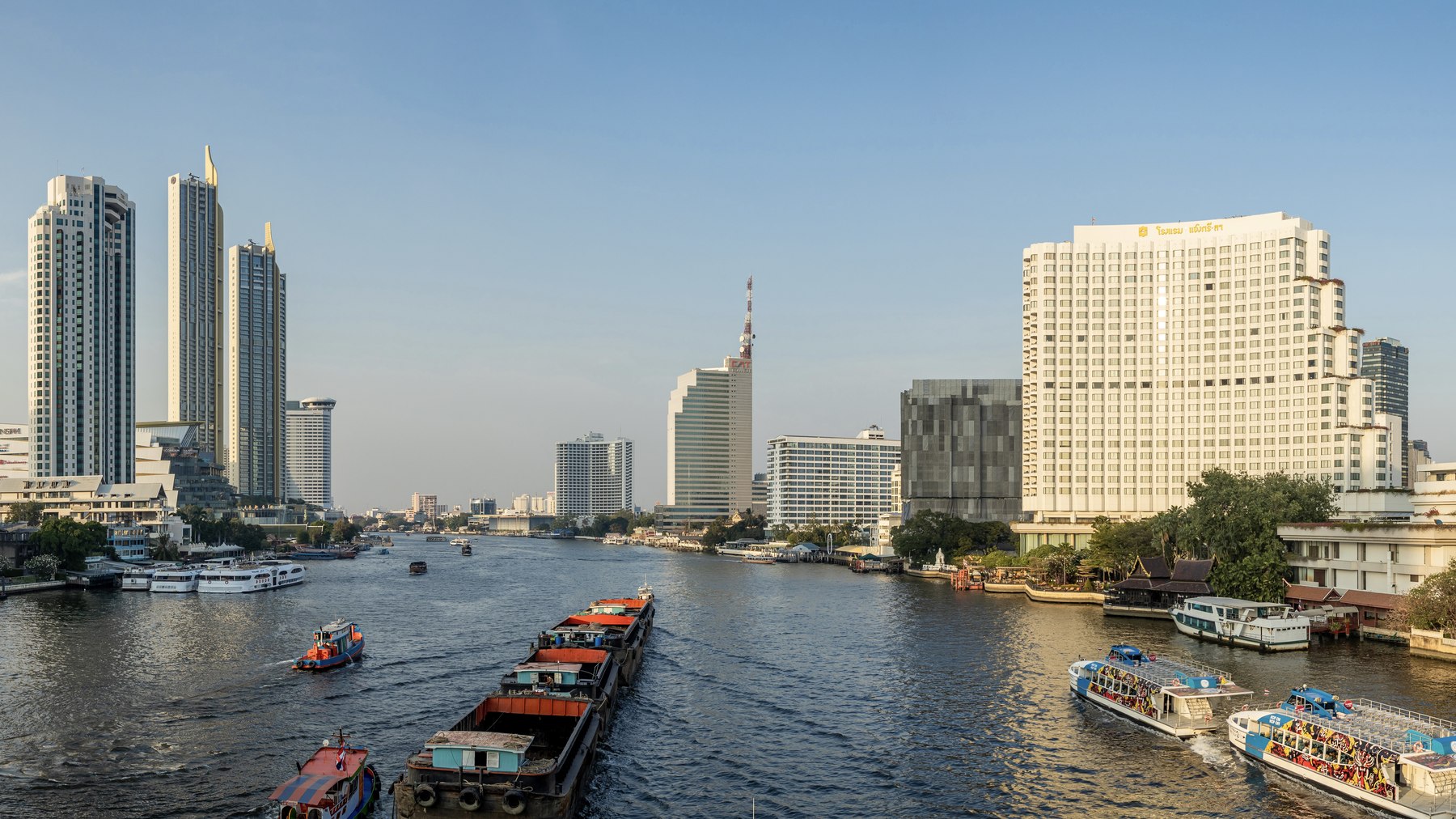
Bangkok's published operational material describes linked canals, drainage pipes, pumping facilities and water gates. A BMA page based on its 2014 flood-response plan sets out the logic: clean waterways and pipes, maintain pumps, watch approaching rain, and lower water levels in preparation. The document is useful for explaining how the system works; its old inventory and operating timetable should not be presented as a description of today's deployment.
The connection matters. A large pump cannot remove street water efficiently if that water cannot reach it. Conversely, a clear roadside inlet is only the first stage of a route through the network. The relevant question after a downpour is therefore broader than whether a drain exists: can water enter, travel through and leave the system, and how much temporary space is available while it does?
Sources: 2
Why maintenance changes the result
BMA's environmental office identifies improperly discarded plastic and foam as materials that can obstruct drains and slow water flow. Its May 2024 explanation also describes waste interfering with pumps, alongside the city's use of pipe cleaning, pumping and water-retention areas. It says water levels in canals and pumping ponds are managed in preparation for heavy rain.
That offers a concrete way to interpret maintenance reports. Removing obstructions helps recover useful capacity; it does not create unlimited capacity. Keeping rubbish out of waterways is a meaningful household contribution, while the larger drainage burden still depends on infrastructure and operations. A photograph of a blocked inlet may identify one local problem, but it cannot establish the cause of flooding across an entire district.
Sources: 3
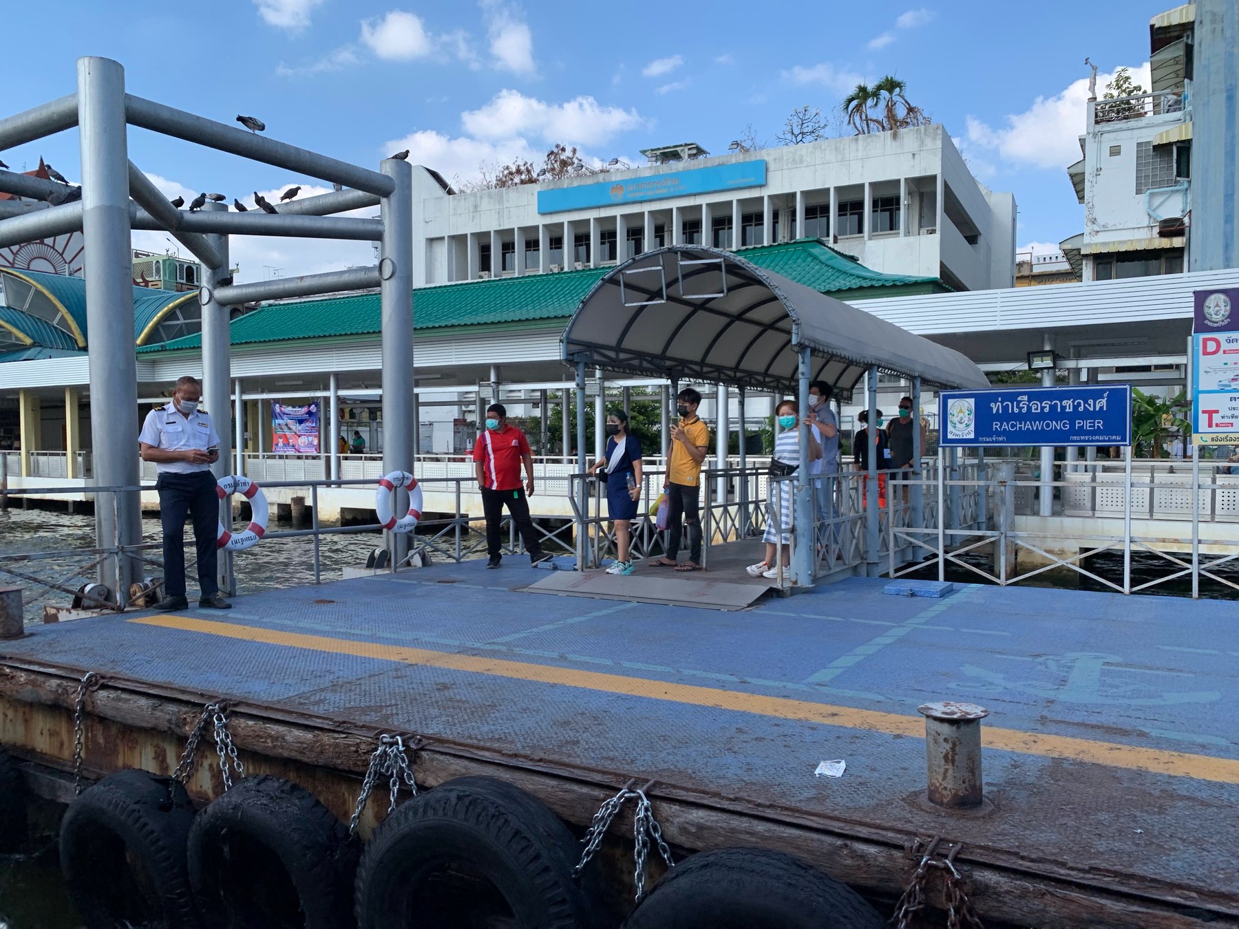
The city also sits inside a larger water system
Street drainage is only one scale of the problem. In its December 2023 discussion of Thailand's water security, the World Bank described basin-wide work on channels, water retention, forecasting and land-use planning. Those are complementary functions: moving water through a river basin, reserving places to hold it, and reducing exposure require decisions beyond a single road.
The ground itself also changes. A peer-reviewed study published online in October 2024 modelled groundwater-pumping-induced subsidence around Bangkok using observations at 23 well nests. Its authors explain why compressible clay can continue responding after groundwater pumping falls. They also report weaker model performance at eight locations, illustrating why a citywide slogan about how fast Bangkok is sinking cannot substitute for local evidence. Subsidence is a long-term risk factor, not a diagnosis of what caused water to collect outside one building during one shower.
What to check before travelling
Use three questions. What weather is expected during the journey? What has recently been observed near the route? Which part of the trip is most exposed if conditions change? An elevated rail ride may leave an uncovered walk at either end, so the access streets deserve the same attention as the main journey.
BMA's road-flood monitoring service provides a separate observation channel from the weather forecast. Check the relevant location and observation time rather than treating a citywide total or an old screenshot as a current answer. A missing or malfunctioning sensor is a gap in evidence. The practical value of checking both systems is that each answers a different question: weather information helps anticipate pressure on drainage, while local observations help assess the consequences already visible.
What to know
For a Bangkok journey, pair the forecast with a recent local observation. For understanding the city's flood problem, follow the water from the street through the drainage network and into the wider basin.
About this reporting
AI-assisted research and drafting from the linked sources, with original explanatory analysis. No interviews or field visits are claimed. Photographs are dated archive images.